Most people know, more or less, how a new home or building is built. Some pieces of metal, wood, and concrete are either formed, mixed, molded or stacked fit the plans of the architect and the engineer.
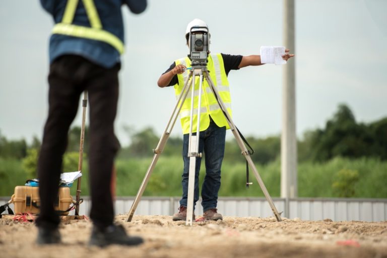
But before construction goes underway, there are some things that need to be cleared and studied. Any type of land development must first go under study and surveying. This is to ensure that the construction follows the standards and regulations of the area.
Land surveying is also used to determine the boundaries and features of the property, something that will determine the overall value of the land. Now, there are different ways to map out the area of the property in mind.
You might need to hire 3D scanning companies to accurately scan and map out the property in full detail, something that can be really useful for architects and engineers. It can also be more efficient and faster than traditional topographic and engineering surveys, saving much-needed time and resources.
There has been much innovation in the land surveying industry, and 3D scanning is just one. The benefits of modern land surveying are as follows.
Efficiency and speed
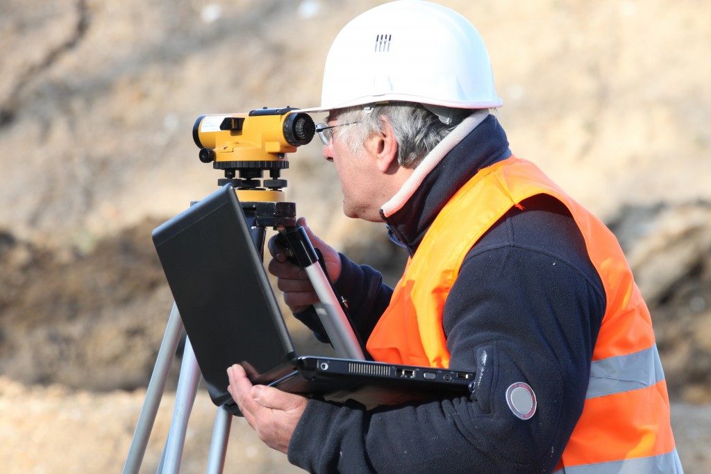
Architects, engineers, and geologists now no longer have to manually and painstakingly do manual land surveys. With the use of modern surveying techniques, they can do their work more efficiently at a quicker pace.
One way they can do this is with the use of 3D scans on the targeted property. Surveyors will use state-of-the-art equipment to accurately recreate and map the terrain that architects and engineers can then use for their projects.
This can be seen in modern property lines. Instead of using outdated and time-consuming surveying techniques, these new surveying technologies can get accurate measurements in shorter times. This is something that can speed up land title acquisitions and other legal and engineering requirements needed for construction.
Another way they can speed up a job’s time is through aerial surveying. This type of surveying involves the use of drones to capture data points or imagery to deliver accurate data and images for a project.
Accuracy and detail
Nowadays, more and more data is used by project managers for their designs. This then leads to less time-wasting and resource-consuming construction reworks.
For example, these numerous data points that modern land surveying has achieved can accurately measure distances and depths needed for a project. Accurate measurements are required for land titles, construction projects, for insurance purposes, as well.
Safety and security
When it comes to safety and security, these new modern surveying techniques can get down and dirty without putting any person at risk. Places that are considered unsafe can now be easily mapped and scanned with hardly any human interaction at all.
For example, surveying mountain ranges, cliffs, or canyons can be done with new technologies that only need remote controls from any human located in a safe distance.
Land surveying has never been this easy and efficient to do. There is no more need for manual techniques, shortening the time needed for the completion of projects.