Sometimes described as “future tech,” laser scanning for land surveying has actually been around for a couple of decades, albeit with various improvements from time to time. It has been the preferred method of land surveying by top companies in the country for a wide number of reasons, from higher efficiency and accuracy to ease-of-use and lower overheads.
Leading 3D scanning companies in the country are constantly pushing the technology further, with the goal of making obsolete any problems that land surveyors might have encountered in the past. With each improvement, laser scanning and 3D scanning for land surveyors become even better, with more accurate data collection and faster completion times.
Whether it is for commercial, residential, or construction purposes, laser and 3D scanning for land surveys is one of, if not the, best way to do it. Here are a few reasons why:
Faster Turnarounds and Increased Accuracy
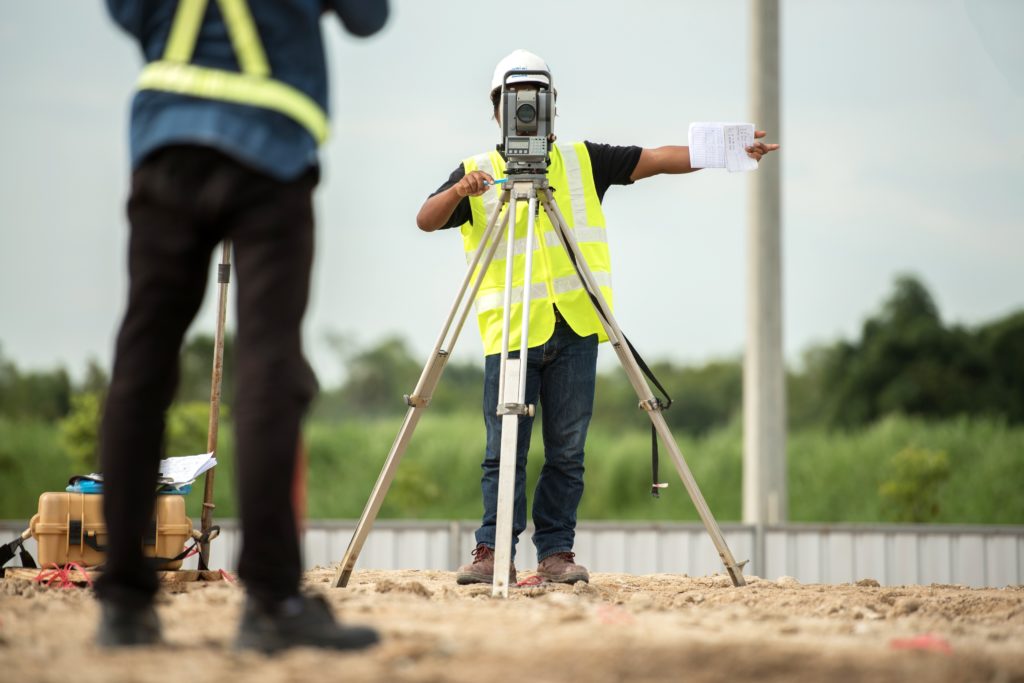
The previous decade saw the most improvement in laser and 3D scanning technology, with various upgrades to the tech seeing a whopping 50% to 70% reduction time in fieldwork and project turnarounds. Older methods that use manual instruments like the traditional level and rod, and even theodolite, could take a number of days, even weeks, to complete a project.
Meanwhile, 3D scanning technology can cut that time to as little as a single work day. But perhaps the great thing about laser scanning is the fact that it does not sacrifice speed for accuracy; In fact, some of the most advanced 3D scanning machines can gather up to a million data points per second.
3D scanning using lasers has actually increased the accuracy of data collection, creating much more detailed maps, land surveys and other details that traditional methods will definitely miss.
Ease-of-Use, Versatility and Lower Overheads

Because of the range and versatility of 3D scanning machines, they can gather data about various types of topographies with the push of a button. This ease-of-use means that less time is dedicated to physical surveying, leaving more time for data collation and interpretation.
This also means that laser scanning and 3D scanning can be employed for various purposes, such as:
- Topological Map creation
- Preservation of historical sites.
- Surveying hazardous topography (without risk to surveyors).
- Accessing hard-to-reach areas.
- Surveying civil infrastructure without affecting vehicular traffic.
- Accurate scans of rough terrain that might not be possible with traditional methods.
This means that 3D scanning can be used in all kinds of environments, whether it is urban, industrial, or rural. The accuracy of the scans also implies that data interpretation becomes easier and faster, again reducing workflow times and overall project costs.
This reduction in both workforce and equipment means that overheads are drastically reduced, and workflow is made more efficient. In this way, companies can increase their profit margins and cut overall costs just by upgrading their land surveying systems to something more modern and more effective.
The future of land surveying has been around for quite some time, but it is here to stay, and it is steadily improving.